The Drone Technology & Aerial Imaging is designed to equip learners with comprehensive knowledge and hands-on skills in drone operations, aerial photography, and advanced imaging techniques. This program covers drone hardware and software, flight regulations, safety protocols, and the use of drones in industries such as agriculture, surveying, mapping, cinematography, and inspection. Participants will gain practical experience in drone piloting, data collection, and post-processing of aerial images and videos using cutting-edge tools and software. By the end of the course, learners will be proficient in leveraging drone technology for professional applications and creative projects, opening doors to a wide range of career opportunities in the rapidly growing UAV (Unmanned Aerial Vehicle) industry.
Introduction to Drone Technology Overview of drones and UAVs Types of drones and their applications History and evolution of drone technology
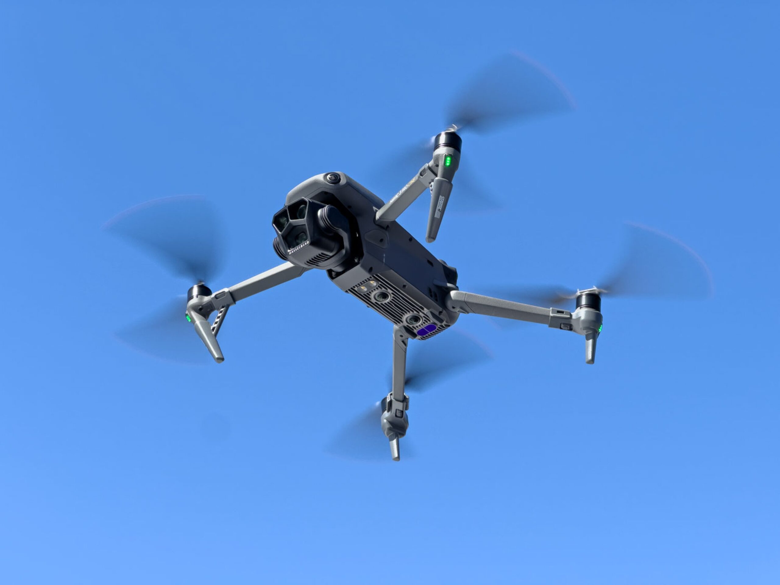
Drone Components & Hardware Anatomy of a drone: frame, motors, propellers, batteries Sensors, cameras, and gimbals Flight controllers and communication systems.
Drone Flight Principles & Navigation Basics of aerodynamics and drone physics Manual and automated flight controls GPS, waypoint navigation, and flight planning.
Drone Safety, Regulations & Compliance National and international drone regulations No-fly zones, permits, and licenses Safety protocols and risk assessment.
Aerial Photography & Videography Camera settings, framing, and composition Lighting techniques and aerial perspectives Capturing high-quality photos and videos.
Surveying, Mapping & GIS Applications Introduction to GIS and mapping principles Creating 2D maps and 3D models Applications in agriculture, construction, and environmental monitoring.
Data Analysis & Post-Processing Processing aerial images and videos Using software like Pix4D, DroneDeploy, and Agisoft Metashape Generating orthomosaic maps and 3D models.
Drone Maintenance & Troubleshooting Pre-flight checks and routine maintenance Troubleshooting hardware and software issues Battery management and storage.
Mission Planning & Advanced Drone Operations Automated flight paths and mission planning Using drones in complex environments Integration with AI and autonomous systems.
Industry Applications & Project Work Drone applications in agriculture, surveying, cinematography, inspection, and delivery Live project: Planning, executing, and analyzing a drone mission Entrepreneurship and career guidance in drone technology.
Mobile: 9100348679
Email: coursedivine@gmail.com

You cannot copy content of this page
